The Otay Ranch Preserve (Preserve) consists of approximately 525 acres in the San Ysidro
Mountains and approximately 826 acres in Salt Creek in the City of Chula Vista (City) in San
Diego County. Dudek biologists have performed the following surveys: vegetation mapping in
May and June 2008, focused botanical surveys in spring 2009, general butterfly surveys in 2008,
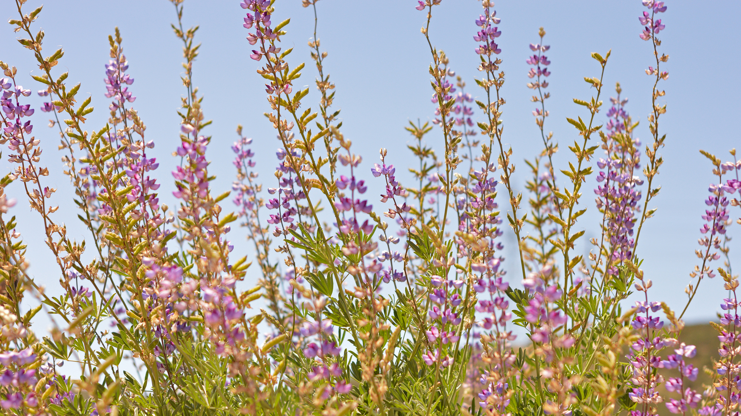
focused surveys for quino checkerspot butterfly (Euphydryas editha quino) in spring 2009,
focused surveys for coastal California gnatcatcher (Polioptila californica californica) in
spring 2008, avian point count surveys in summer/fall 2008, and large and medium mammal
surveys in spring 2009. Herpetology trap surveys are currently in process. This report documents
the results of Dudek's field work.
Project Description
The Otay Ranch Preserve (Preserve) is located in southwestern San Diego County and
is composed of three major parcels: Otay River parcel, Proctor Valley parcel, and San
Ysidro Mountains parcel (County of San Diego [County] 1993). The Preserve boundaries
include lands within the city of Chula Vista (City) and the County. During the time frame
of this report (October 2009 through June 2010), lands that have been conveyed to the
Preserve include the Salt Creek and San Ysidro parcels (Figures 1 and 2;
Photographs 1 and 2). As lands are conveyed to the Preserve, the total area will
increase to more than 11,000 acres. These lands will be set aside as mitigation for
impacts to sensitive resources resulting from Otay Ranch development (County 1993).
The Preserve is managed by the Preserve Owner/Manager (POM), which is discussed
in more detail below.
The Preserve is a hard-line preserve that has been designed and is managed
specifically for protection and enhancement of multiple species present (County of San
Diego 1993). The Preserve also serves to connect large areas of open space through a
series of wildlife corridors, including connections between regional open space areas
such as Otay Reservoir and San Miguel Mountain (County of San Diego 1993).
This baseline biological resource report has been prepared for the Northern San Ysidro,
McMillin, and Little Cedar Canyon parcels of the Otay Ranch Preserve. The Northern
San Ysidro parcel is located on 118 acres on APN 647-090-04, the McMillin parcel
comprises 230 acres on APN 647-100-08 and 647-100-10, and the Little Cedar Canyon
parcel totals 160 acres on APN 647-110-01 and 647-120-01.The Otay Ranch Preserve
is located in an unincorporated portion of southwestern San Diego County, east of the
city of Chula Vista.
RECON biologists conducted surveys to gather baseline biological information at the
Northern San Ysidro, McMillin, and Little Cedar Canyon parcels during the spring and
summer of 2011. The surveys consisted of vegetation mapping and general plant and
wildlife surveys. Sensitive species were observed incidentally, and suitable habitat for
sensitive wildlife species was also evaluated during general surveys.
During baseline surveys, seven vegetation communities were mapped in the Northern
San Ysidro parcels, five vegetation communities were mapped in the McMillin parcels,
and six vegetation communities were mapped with the Little Cedar Canyon parcels. A
total of 173 plant species, 22 species of invertebrates, 1 species of amphibian, 9 species
of reptiles, 44 species of birds, and 7 species of mammals were observed in the
Northern San Ysidro parcels. A total of 160 plant species, 18 species of invertebrates,
3 species of amphibians, 7 species of reptiles, 45 species of birds, and 5 species of
mammals were observed in the McMillin parcels. A total of 126 plant species, 18 species
of invertebrates, 3 species of amphibians, 7 species of reptiles, 45 species of birds, and
5 species of mammals were observed in the Little Cedar Canyon parcels
The baseline data gathered during these surveys will be used to guide future
prioritization of preserve management actions. Future focused surveys for Quino
checkerspot butterfly (Euphydryas editha quino), as well as permanent photo point
monitoring, have been recommended as tasks for FY 2011-12 in the Draft FY 2011-12
Annual Work Plan for Conveyed Lands Managed by the Otay Ranch Preserve
Owner/Manager.
Introduction
The Otay Ranch Preserve (Preserve) is located in southwestern San Diego County
(County) and is composed of three major parcels: Otay River parcel, Proctor Valley
parcel, and San Ysidro Mountains parcel (County of San Diego 1995). The Preserve
boundaries include lands within the city of Chula Vista (City) and the county of San
Diego. Lands that have been conveyed to the Preserve through March 2012 total
2,896 acres (Table 1). An additional 272 acres of Preserve land along Salt Creek
(Northern Salt Creek) and northeast of Jamul Mountains (Proctor Valley [North] and
Proctor Valley [South]) are anticipated to be conveyed to the Preserve in Fiscal Year
(FY) 2012-13 for a total of approximately 3,168 acres (Table 2). Figures 1 through 3
show the locations of conveyed land.
The Preserve is a hard-line preserve that has been designed and is managed
specifically for protection and enhancement of the multiple species present. The
Preserve also serves to connect large areas of open space through a series of wildlife
corridors, including connections between regional open space areas west and east of
Otay Reservoir and north to San Miguel Mountain. The Preserve is managed by the
Preserve Owner/Manager (City and County; [POM]). Preserve monitoring and
operations/maintenance tasks were implemented by the Preserve Steward/Biologist
(RECON) in consultation with the POM.
This baseline biological resource report has been prepared for the Jamul Mountains
parcels of the Otay Ranch Preserve, Assessor's Parcel Numbers 598-070-05 and 598-
070-06. The Otay Ranch Preserve is located in an unincorporated portion of
southwestern San Diego County, east of the city of Chula Vista.
RECON biologists conducted surveys to gather baseline biological information at the
Jamul Mountains parcels during the spring and summer of 2011. The surveys consisted
of vegetation mapping and general plant and wildlife surveys. Sensitive species were
observed incidentally, and suitable habitat for sensitive wildlife species was also
evaluated during general surveys.
Three vegetation communities were mapped in the Jamul Mountains parcels during
baseline surveys. Within these vegetation communities, a total of 96 native plant species
and 23 non-native plant species were observed. Nine of the native plant species are
considered sensitive. Wildlife observed includes nine invertebrate species,four reptile
species, 28 bird species, and five mammal species. Of these,two reptile species, three
bird species, and one mammal species are considered sensitive.
The baseline data gathered during these surveys will be used to guide future
prioritization of preserve management actions. Focused surveys for Quino checkerspot
butterfly (Euphydryas editha quino) and photographic monitoring have been
recommended for Fiscal Year 2011-12.
Introduction
The Otay Ranch Preserve (Preserve) is located in southwestern San Diego County and is
composed of three major parcels: Otay River parcel, Proctor Valley parcel, and San Ysidro
Mountains parcel (County of San Diego 1993). The Preserve boundaries include lands within
the city of Chula Vista and the county of San Diego. As of February 2013, lands that had
been conveyed to the Preserve totaled 2,978 acres (Figures 1-3 and Table 1). An
additional 230 acres of Preserve land are anticipated to be conveyed to the Preserve in
Fiscal Year (FY; July 1 through June 30) 2013-14 for a total of approximately 3,208
acres. The Preserve is managed by the City and County, who are referred to as the
Preserve Owner/Manager (POM). In 2009, RECON Environmental was contracted to
serve as the Preserve Steward/Biologist (PSB). The PSB's role is to perform basic
stewardship and conduct required biological surveys and monitoring for the Preserve.
The Preserve is a hard-line preserve that has been designed and is managed
specifically for protection and enhancement of the multiple species present. The
Preserve also serves to connect large areas of open space through a series of wildlife
corridors, including connections between regional open space areas west and east of
Otay Reservoir and north to San Miguel Mountain.
The purpose of this biannual report is to document access issues, new site disturbance,
new plant species, observed wildlife, and management tasks performed between
January 1, 2013 and April 30, 2013.
This baseline biological resource report has been prepared for the Dulzura parcels of the
Otay Ranch Preserve, Assessor's Parcel Numbers 598-160-14, 647-050-04, 598-170-
40, and 647-060-01. The Otay Ranch Preserve is located in an unincorporated portion of
southwestern San Diego County, east of the city of Chula Vista.
RECON biologists conducted surveys to gather baseline biological information at the
Dulzura parcels during the spring and summer of 2011. The surveys consisted of
vegetation mapping and general plant and wildlife surveys. Sensitive species were
observed incidentally, and suitable habitat for sensitive wildlife species was also
evaluated during general surveys.
Twelve vegetation communities were mapped in the Dulzura parcels during baseline
surveys. Of these, 4 vegetation communities are considered Tier I Uncommon Uplands
by the City of Chula Vista's Multiple Species Conservation Program Subarea Plan
(MSCP). Within these vegetation communities, a total of 180 native plant species and 41
non-native plant species were observed. 20 of the native plant species are considered
sensitive. Wildlife observed includes 25 invertebrate species, 1 amphibian species,
7 reptile species, 71 bird species, and 4 mammal species. Of these, 1 invertebrate
species, 3 reptile species, 4 bird species, and 1 mammal species are considered
sensitive.
The baseline data gathered during these surveys will be used to guide future
prioritization of preserve management actions. Future focused surveys for Quino
checkerspot butterfly (Euphydryas editha quino), as well as permanent photo point
monitoring, have been recommended as tasks for FY 2011-12 in the Draft FY 2011-12
Annual Work Plan for Conveyed Lands Managed by the Otay Ranch Preserve
Owner/Manager.
Introduction
This annual report describes the methods and results of management and monitoring
tasks that were conducted from January 1, 2011 to December 31, 2011 at the Otay
Ranch Preserve (Preserve) by RECON Environmental, Inc. (RECON) as the Preserve
Steward/Biologist (PSB). Management and monitoring activities included site visits to
perform land stewardship tasks; general and focused biological surveys; meeting and
presentation attendance; coordination with land managers; and report and work plan
preparation and submittal.
Two 2011 quarterly reports were previously submitted to the Preserve Owner/Manager
(POM). The first 2011 quarterly report described management and monitoring activities
that occurred from January 1, 2011 through March 31, 2011 (RECON 2011a); The
second 2011 quarterly report described management and monitoring activities that
occurred from April 1, 2011 through June 30, 2011 (RECON 2011b). Additionally, three
baseline survey reports were previously submitted to the POM detailing methods and
results of baseline surveys conducted in 2011 at the Jamul Mountains, Dulzura,
Northern San Ysidro, McMillin, and Little Cedar Canyon parcel sets (RECON 2012a,
2012b, and 2012c).
This 2011 annual report summarizes work performed from January 1, 2011 through
June 30, 2011 which was previously described in detail in the 2011 quarterly and
baseline survey reports. Activities that occurred between July 1, 2011 and December 31,
2011 have not been described in previously submitted reports and are discussed in
detail in this 2011 annual report.
The County is obligated to monitor habitat preservation and destruction (i.e., gains and losses),
habitat quality, and certain covered species. Only the latter two elements are discussed in this
report.
This report focuses on data collected by County staff, its consultants, or volunteers. This
includes efforts funded by Local Assistance Grants that were funded by the California
Department of Fish and Game and coordinated by the County. In some instances, other agencies
or individuals have surveyed lands for which the County has a responsibility to monitor; these
data are reported here to the extent they are known. For the most part, information is presented
that pertains to lands that the County is required to monitor under the MSCP, but there are cases
where the County has performed surveys on lands managed by other participants, which are
reported here as well.